Soils4Liberia Project Advances National Land Knowledge, Trains Technicians to Lead Liberia’s First Comprehensive Soil Survey
SUAKOKO, Bong County – In a decisive step toward modernizing Liberia’s agricultural landscape, the Soils4Liberia Project has conducted a training exercise to prepare soil survey technicians for the country’s first comprehensive soil inventory.
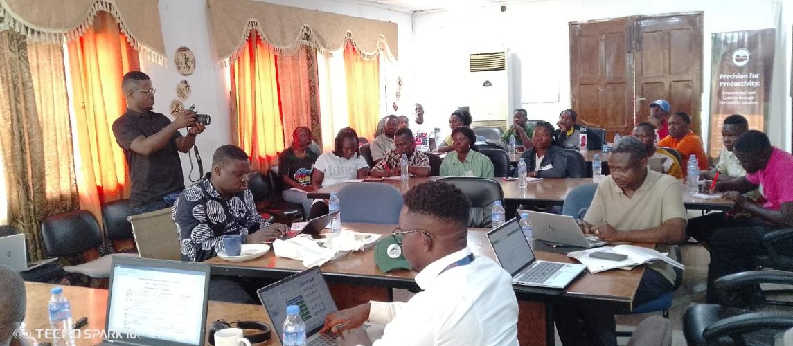
From March 16–20, 2026, the Central Agricultural Research Institute (CARI), in collaboration with Soils4Liberia, hosted an intensive workshop in Suakoko, Bong County. The training convened technical staff from the University of Liberia’s Soil Laboratory, CARI’s Natural Resources Management Department, and the Ministry of Agriculture. Participants were immersed in protocols and practices that would underpin Liberia’s soil mapping campaign.
The workshop introduced participants to the national soil inventory protocol and standard operating procedures (SOPs) for soil sampling and field observations. Hands-on sessions covered digital data collection using ODK software, data management through the Survey Data Management Tool (SDMT), and practical exercises in cluster sampling design, field navigation, and campaign coordination, skills essential for ensuring accuracy and consistency in the field.
Harris Yanquoi, Soils4Liberia Project Focal Point, welcomed participants and emphasized CARI’s leadership role in the survey. He urged supervisors to pay close attention to protocols and navigation techniques to guarantee reliable results.
Dr. Abebe Shiferew, Soils4Liberia Project Manager, highlighted that the training equips supervisors with specialized knowledge to implement Liberia’s nationwide soil sampling and data collection campaign.
The initiative seeks to close Liberia’s critical data gap on soil resources, land use, and agricultural potential. To achieve this, the project will expand and upgrade LibSIS into a national, fully functional Land and Soil Information System (LSIS). This enhanced platform will provide accurate and accessible data to guide agricultural planning, promote sustainable land management, and inform evidence-based policy decisions.
Dr. Samuel Mesele, Soil Scientist, outlined the project’s objectives, informed participants that the survey would support the preparation of soil, nutrient, and mineral maps, land-use knowledge maps, and nutrient-specific recommendations. He explained that the ultimate goal is to improve land and soil resource management for conservation, sustainable agricultural intensification, and climate resilience.
The project aligns with European Union priorities on sustainable agriculture, climate resilience, and food security, while supporting Liberia’s national strategies to modernize agriculture and combat land degradation. The EU is the donor, the International Institute of Tropical Agriculture (IITA) is the lead implementing partner, and CARI, alongside other institutions, will spearhead soil sample collection nationwide.
The specific objectives cut across the development of a Land and Soil Information System (LSIS) with accurate, up-to-date soil and land data to support tailored decision-making; enhance stakeholder knowledge and capacity, raising awareness of the importance of soil and land information, and the establishment of the Liberia National Soil Information Centre (LiNSIC) to generate, manage, and disseminate reliable soil data for evidence-based agricultural and environmental interventions.
During the field campaign, surveyors will collect soil samples from 1,000 sites across Liberia, representing diverse agroecological zones and land uses. The resulting data will form the foundation of the Liberia Soil Information System.
Through these initiatives, the Soils4Liberia Project aims to strengthen ecosystem services, boost agricultural productivity, enhance climate resilience, and ensure sustainable management of Liberia’s land and soil resources.
